Who we help

Council records, safe and searchable

Councils have trusted us with their registers for two decades: burial and cremation registers above all, but also plans, minutes and the paper behind every service.

What we scan for councils

  1. No. 01

    Burial and cremation registers

    Scanned without cutting, transcribed and, if you choose, searchable on Deceased Online.

  2. No. 02

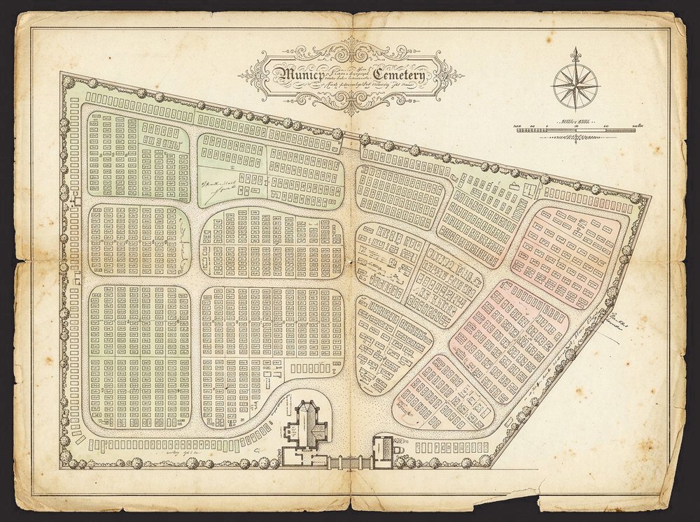
    Cemetery and town plans

    Large-format scans, and digital maps traced from hand-drawn plans.

  3. No. 03

    Minute and rate books

    The bound records of a council’s history, scanned whole.

  4. No. 04

    Planning and building files

    Bulk scanning of files and drawings, indexed to your references.

  5. No. 05

    Local studies collections

    Photographs, postcards and maps, for libraries and archives.

  6. No. 06

    Printed facsimiles

    Copies for display, so the originals can stay in the strongroom.

Your records, your choice

Manuscripti works for any council, whatever software you use, or none. Digitised burial and cremation registers often go on to Deceased Online, where they are preserved, searchable by the public, and earn your service a share of the revenue from record requests.

Others go into Epilog Cloud, your own systems or your archive. The choice is always yours.

Project

Projects for councils

Illustration

In the news

Across the UK · 19th century to today

Burial and cremation registers for councils

Statutory burial and cremation registers scanned, transcribed and published for councils and crematoria across the UK, many now searchable on Deceased Online.

Records searchable on Deceased Online
25m+
Names in Hull’s registers alone
519,000
Transcribed: names, dates and plot references
Every entry
Illustration

Across the UK · Plans from the 19th century to today

Cemetery map digitising for councils

Hand-drawn cemetery section plans scanned, joined into one map and traced plot by plot, with every grave linked to its burial record, for councils and crematoria across the UK.

Illustration

Across the UK · Surveyed as they are today

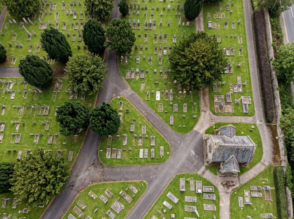
Drone and LiDAR surveys of cemeteries

Aerial and LiDAR surveys of burial grounds and crematoria grounds across the UK, giving an accurate base map of every headstone, tree and path for the old plans to be aligned to.

Talk to us about your records

Tell us what you hold, and we will suggest the best way to preserve it.

Get a quote

Tell us about your originals and we will come back with advice and a quote.

We use these details only to reply to you. See our privacy policy.