
 Illustration
Drone and LiDAR surveys of cemeteries
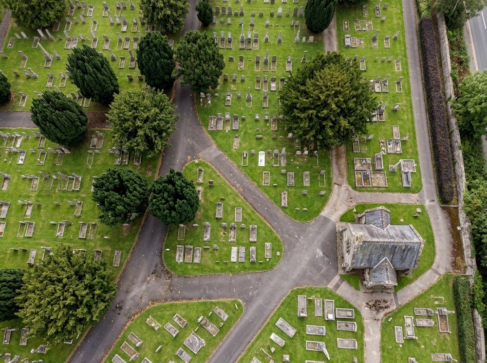
Aerial and LiDAR surveys of burial grounds and crematoria grounds across the UK, giving an accurate base map of every headstone, tree and path for the old plans to be aligned to.
- Position, size and orientation measured
- Every headstone
- Models of each memorial, showing any lean
- 3D
- LiDAR maps overgrown corners and woodland
- Through trees