Drone and LiDAR surveys of cemeteries
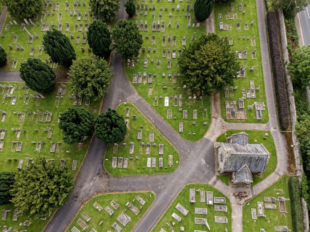
Aerial and LiDAR surveys of burial grounds and crematoria grounds across the UK, giving an accurate base map of every headstone, tree and path for the old plans to be aligned to.
- Drone survey
- Map digitising
 Illustration
- Position, size and orientation measured
- Every headstone
- Models of each memorial, showing any lean
- 3D
- LiDAR maps overgrown corners and woodland
- Through trees
Why survey
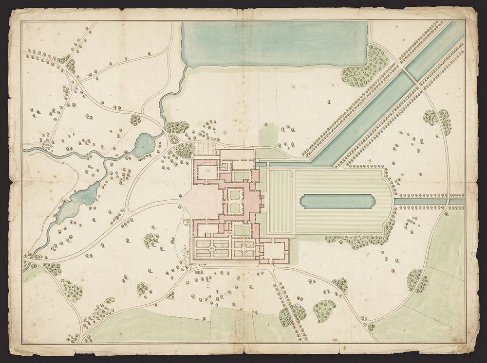
Old cemetery plans record what was planned; a survey records what is actually on the ground. Over a century, paths are moved, memorials added, trees grow over whole rows, and the plans and the ground drift apart.
What the survey captures
Flown by our specialist survey partner, a drone and LiDAR survey captures the whole site from the air on real-world coordinates, in a single visit.
It measures every headstone’s position, size and orientation, and builds a 3D model of each memorial that shows any lean, which helps plan safety inspections. LiDAR sees through tree cover, so overgrown corners and woodland are mapped too, along with trees, paths, water and buildings.
From survey to map
The survey becomes the base map. The existing hand-drawn plans are realigned to it and digitised, and every grave is linked to its burial record, so the records and the ground finally agree. The finished map goes into Epilog Cloud mapping or the council’s own GIS.
Nearby sites share one visit, which keeps the cost down for councils with several cemeteries and crematoria grounds.
What a survey is not
A survey records what can be seen from the air. It helps plan memorial inspections but does not replace hands-on memorial safety testing.