Cemetery map digitising for councils
Hand-drawn cemetery section plans scanned, joined into one map and traced plot by plot, with every grave linked to its burial record, for councils and crematoria across the UK.
- Large-format scanning
- Map digitising
 Illustration
- Drawn as its own shape and linked to its burial record
- Every grave
- From many section plans, on real-world coordinates
- One map
- Or straight into Epilog Cloud mapping
- GeoJSON
The plans
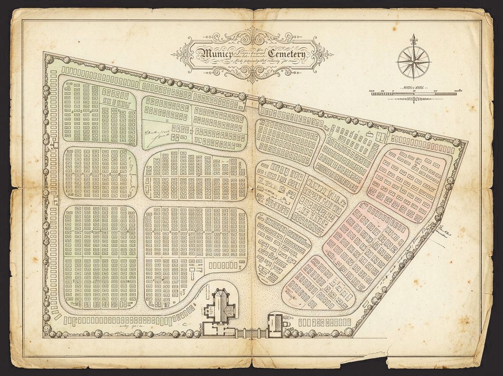
Most cemeteries are still recorded on section plans drawn by hand, some well over a century old: one plan per section, faded, annotated and patched over the years as graves were added and paths moved. Finding a grave, or knowing what space is left, means searching plan by plan.
What we do
We scan every plan full size and in full colour, from A4 to A0 and beyond, and clean up the faded and fragile ones. The sections are then joined into one continuous map and set on real-world coordinates, so it lines up with the ground and with Ordnance Survey mapping.
Every grave is then traced by hand, layer by layer, as a shape of its own. Paths, buildings, boundaries and trees are drawn as features too, so each can carry its own record. Where a drone survey has been flown, the plans are realigned to it first, so the map matches what is really there.
Checked before it goes live
Each grave is linked to its burial record, and the finished map is checked against the plans and the registers: graves with no record, records with no grave and plots numbered twice are all flagged for the council to settle. The original plan stays beneath as a historic layer, so nothing it records is lost.
What it made possible
Staff can find any grave in seconds, answer an enquiry while the family is on the phone, and see at a glance where there is space and which sections are full.
The finished map goes into Epilog Cloud mapping, made by our sister company Gower, where it becomes the base for full historic tracking of every plot. It can equally be delivered as GeoJSON for a council’s own mapping or GIS software.